
Gravel Point Preserve Hiking Trails
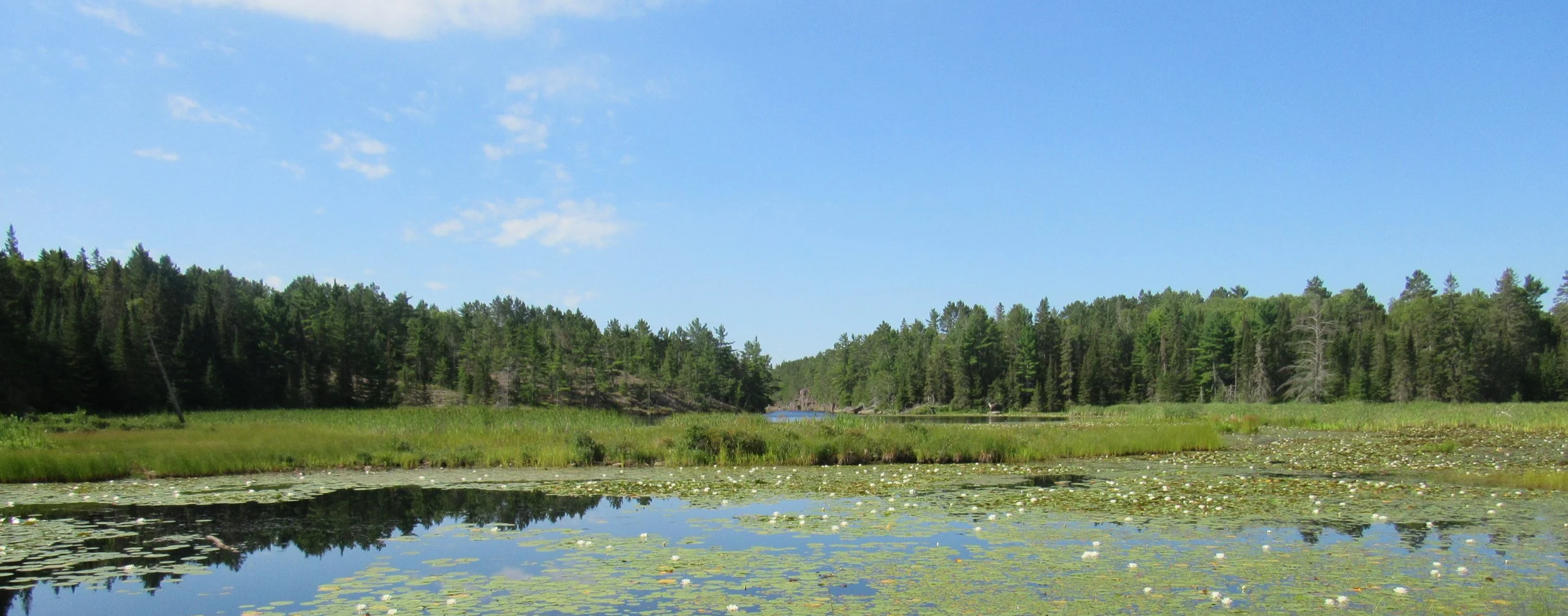
The Gravel Point Preserve consists of four adjacent lots for a total of 278 acres. It features mixed forests and wetlands, which is great habitat for thousands of wildlife and plant species. In 2022, the first hiking trail opened for public use on the preserve.
Location and Parking
The trailhead is located along Highway 548 in Hilton Township on St. Joseph Island, Ontario. It is approximately 3km south of Forbes Community Park in Hilton Beach. There is a parking lot that fits several vehicles.
Length
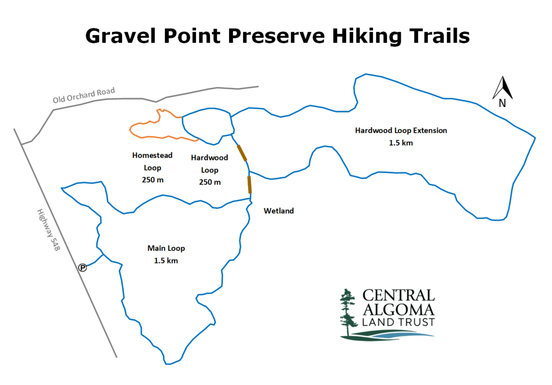
There are about 4km worth of trails on the preserve. The Main Loop is 1.5km, the additional Hardwood and Homestead Loops add another 650m, and the Hardwood Loop Extension trail is another 1.5km. Completing all the trails may take approximately two hours, depending on your pace. Click here to view the trail map on Google Maps.
Trail Rating
The trails are an easy-to-moderate hike. The trails are mostly flat with only a couple very small changes in elevation. There are some exposed roots and rocks along the trail, as well as some uneven ground. The trail is marked with blue flagging tape with the exception of the Homestead Loop, which is marked with orange flagging tape.
Trail Rules
Dogs must be leashed at all times and picked up after
Take only photos, leave only footprints
Stay on the marked trails
No bikes or motorized vehicles
Other Notes
The trails are open for snowshoeing in the winter. If you use the trails for snowshoeing, please consider a donation to help offset the expense of keeping the parking lot plowed).
Trail Supporters

We are very grateful to our donors, whose general contributions provide the foundation for this program, and the organizations and businesses recognized here for directly supporting it.
