
Foster Parkland and Walking Trails
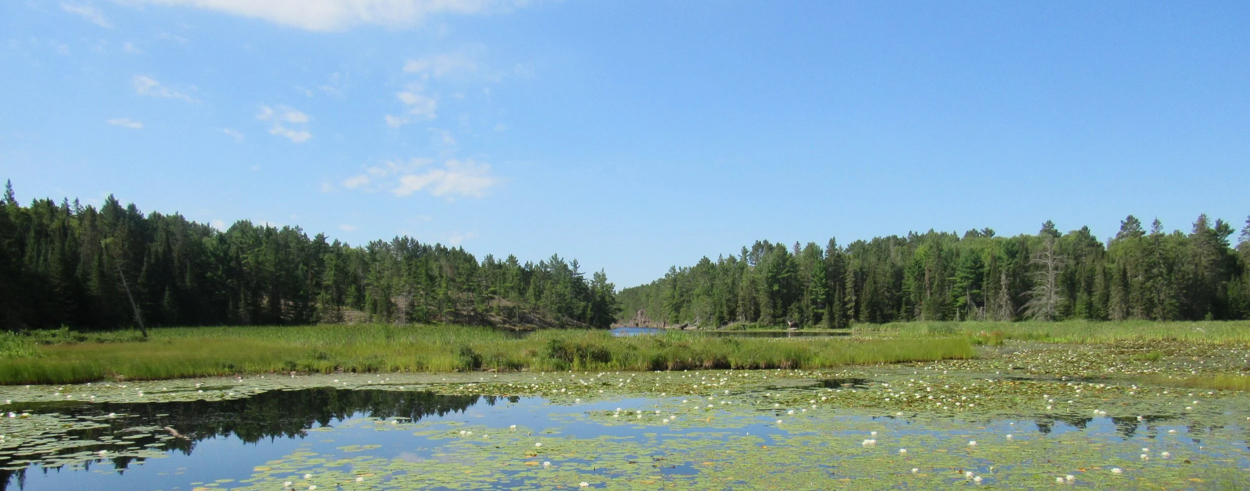
These hiking trails traverse two adjacent nature preserves. The Boyer Preserve is a 93 acre property featuring mixed forest, protected shoreline and Provincially Significant Wetland known as the Kensington Complex. The Foster Parkland and Walking Trails Preserve is a 40 acre property of diverse mixed forest and features interpretive signs to teach you about the local flora.
Location and Parking
The trailhead can be found at Central Algoma Land Trust Conservation Centre, located a 69 Boyer Drive in Desbarats, Ontario. There is a parking lot that fits several vehicles.
Length
There is approximately 3.5km worth of trails. The north loop (red) is 2.3km and the south loop (blue) is 1.2km. Completing the whole trail system may take 1.5 to 2.5 hours, depending on your pace. Click here to view the trail map.

Trail Rating
The trails are a moderate hike. The trails are natural (rocks, roots, etc.) with some steep changes in elevation. Rocky segments may be very slippery after rainfalls. There are a few low areas that are seasonally wet. These trails may not be suitable for everyone. 3.5km worth of trails. The north loop (red) is 2.3km and the south loop (blue) is 1.2km. Completing the whole trail system may take 1.5 to 2.5 hours, depending on your pace. Click here to view the trail map.
Trail Rules
Dogs must be leashed at all times and picked up after
Take only photos, leave only footprints
Stay on the marked trails
No bikes or motorized vehicles
Other Notes
The trails are open for snowshoeing in the winter.
Washrooms, hiking poles, and tap water are available when staff are present at the Central Algoma Land Trust Conservation Centre.
Trail Supporters
We are very grateful to our donors, whose general contributions provide the foundation for this hiking trail.